 No cracks in the new map down under in the nether region, but overall it is highly interactive. British and American researchers worked together to build a map of Antarctica, known as the White Continent. orbiting 400 miles above the Earth is the Landsat 7 satellite under the joystick thumb of NASA image makers, the US Geological Survey team and the British Survey Foundation. The teams then digitally sew or "stitch" thousands of individual shots together to make a holistic map of the polar region. Now Antarctica expedition planners can zoom in to land features the size of a basketball half court to see if ground conditions are right for a camping visit.
The new map has high resolution which makes the previous resolutions look positively antiquated. It's the difference in going from the 1960's black and white television sets sans remotes to 21st century color high definition plasma screens in a nanosecond."Being able to see where we couldn't see before will lead to new ideas for research. And these new ideas for research will in turn lead to more knowledge about the continent," said Scott Borg, who directs Antarctic science programs for the National Science Foundation in Arlington, Va.
Scientists also hope the new image will help the public better understand what is at stake in the world's polar regions as temperatures rise due to human-created global warming.
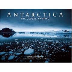
Sebastian Copeland wrote a wonderful book graced with a foreword from Mikhail Gorbachev and an afterward from Leonardo DiCaprio named Antarctica: The Global Warning.


No comments:
Post a Comment